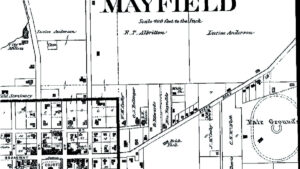
1880 Graves County Atlas
Few detailed maps exist at the county level from the 19th Century. Graves County, Kentucky is lucky to have a highly detailed atlas from 1880 showing the entire county.Featured in…
Few detailed maps exist at the county level from the 19th Century. Graves County, Kentucky is lucky to have a highly detailed atlas from 1880 showing the entire county.Featured in…
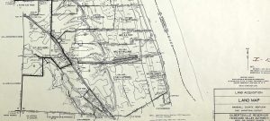
The Kentucky Dam project was the largest and most ambitious from the new deal era of the Tennessee Valley Authority. The creation of Kentucky Lake would take years of planning…
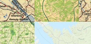
The United States Geological Survey has a great online mapping feature that is quite addicting and can suck you in for a while.
I recently discovered a very nice collection of antique maps right here on the web. The University of Alabama has an archive of old maps dating to the founding of…