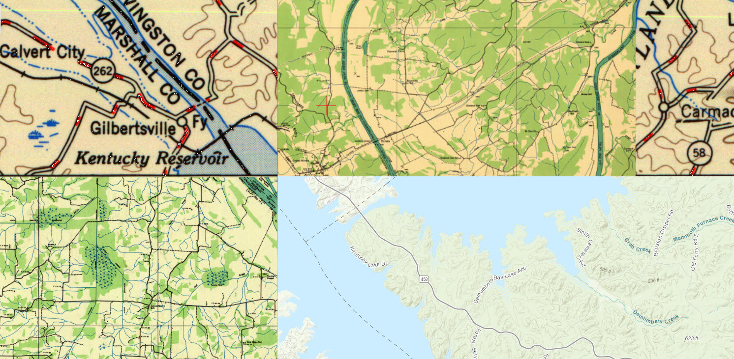
The United States Geological Survey has a great online mapping feature that is quite addicting and can suck you in for a while.
The USGS Historical Topographic Map Explorer is an online mapping tool that shows today’s maps by default. Put in your town to zoom to your location, then click somewhere on the map. The site will pull up any known topographical maps dating back to the early 20th century. You can overlay these old maps on top of the current map. See the video below for a demonstration.
We sampled several spots around Kentucky Lake and Lake Barkley and included some of the larger population centers, which shows the explosive growth of Clarksville and Murray over the last 80 years or so. However, the most fascinating overlays are of when the lakes didn’t exist.