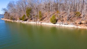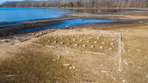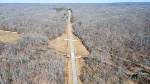
The former site of Tharpe, Tennessee, located in Land Between The Lakes.
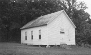
Tharpe, Tennessee
One teacher, Sam Morris, was a large, muscular man. During the sermons, he would sit behind the students watching their every move. If he saw any whispering or horseplay (and…