Land Between The Lakes (LBL) has many well-kept secrets and hidden gems. We all know about the main attractions at LBL. However, some places aren’t well-known. One of those is Ferguson Spring, a beautiful and peaceful location that was once the former site of a farming community.
Ferguson Spring Back Then
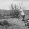
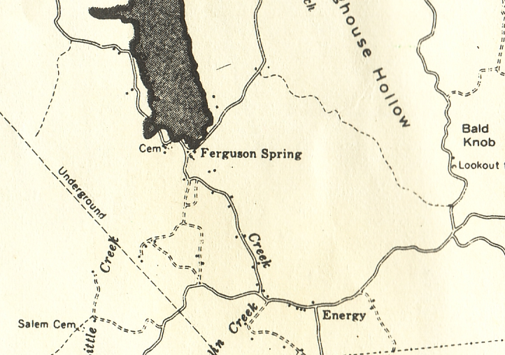
Before the creation of Land Between The Lakes in the 1960s, many families called this area home. There were a few small communities located in this area, including Ferguson Spring. The community was situated along Crooked Creek in an area suitable for farming. A spring gushed out of the side of a rocky hill at this site, which provided fresh, clean drinking water for the people.
There is not much historical information regarding the former site. Maps suggest the community was very small. It was home to a cemetery, one Baptist church and one school.
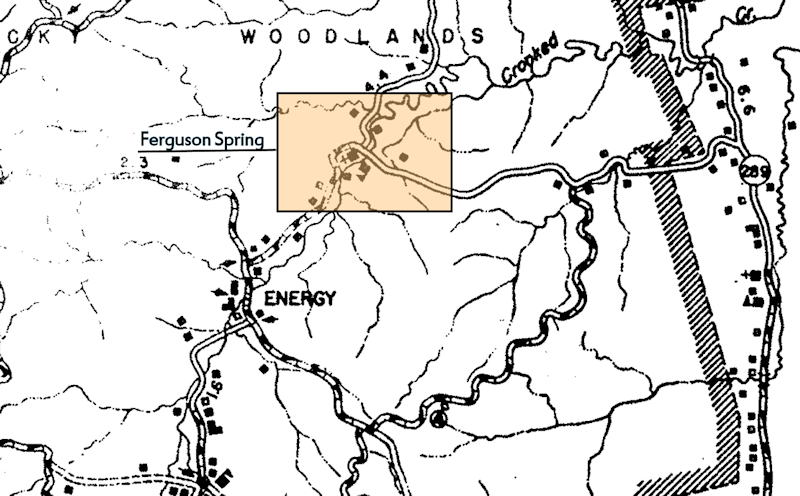
These two maps give us a glimpse of what this tiny community looked like.
Ferguson Spring Today
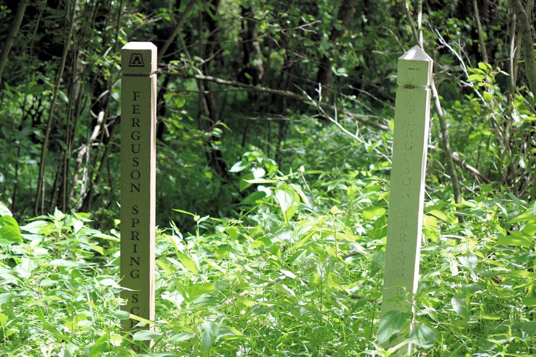
As the case with the entire Land Between The Lakes National Recreation Area, this area is uninhabited. Very little evidence of a settlement remains here. The cemetery is still accessible on top of the hill. A couple of markers show where the school and church once stood.
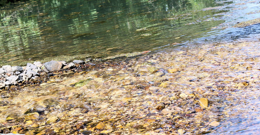
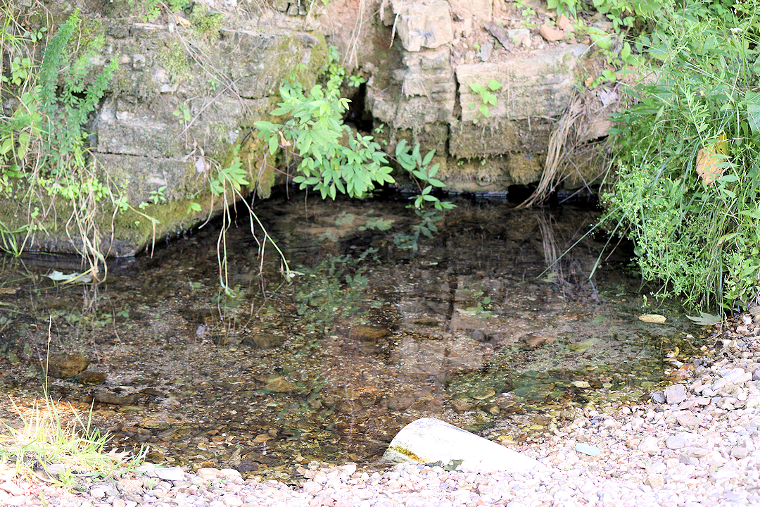
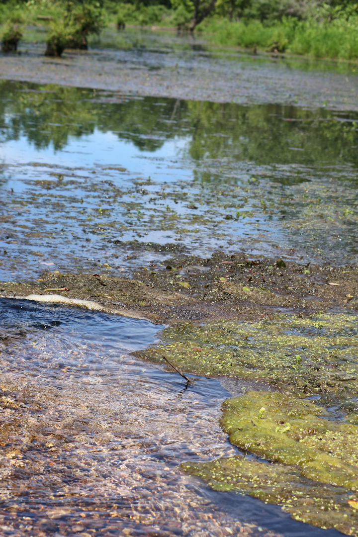
What makes this place special today is the spring and surrounding beaver marsh. The spring is located right on the side of the gravel road, in the shoulder next to the hill. LBL placed a small culvert under the road so the spring’s natural waters can flow into the beaver marsh, which is located on the right side of the road.
The beaver marsh is crystal clear, fed by Ferguson Spring. There is some space to let out a kayak here, but not a lot of room to explore before reaching the beaver’s dam. It should be noted the area is closed between November 1 and March 15 since it’s the back of a wildlife refuge.
The area is beautiful. The spring rushing into the marsh creates a natural beauty that is rare. Isolated from civilization, the environment is peaceful and serene.
Getting to Ferguson Spring
It’s difficult to get to by car, so you might want to take a jeep or a truck. Cars could access the area during a dry spell. There is one large creek that you’ll have to ford and some muddy potholes.
From The Trace in LBL (about 1.5 miles north of US 68), turn right on LBL 153. Turn left on LBL 145. Then turn left on LBL 144, followed by another right on LBL 147. At some point LBL 147 becomes LBL 324, but stay on this road until you’ve reach Ferguson Spring. After getting off The Trace, these roads are gravel.
GPS Coordinates: 36.852079, -88.037770
Ferguson Spring Kayak Video
Here is a YouTube video of someone kayaking in the marsh at Ferguson Spring. Energy Lake, which is near the area, was flooded when the video was shot. The spring and road is at the end of the video under the flood waters.
Resources & Information
If you have something you would like to share about Ferguson Spring, please contact us or share your comments below.