Shiloh, Kentucky traces its roots back to the establishment of the first post office on July 24, 1850, operated by E. P. Chandler. Very little is known about Shiloh during the Civil
War era, including how the town received its namesake. One theory is the town got its name after a church nearby, but no one knows for sure.
The post office had some volatile times. Records show it closed in 1862, then reopened
six years later. It shut for five months in 1874 but remained opened afterwards for several decades.
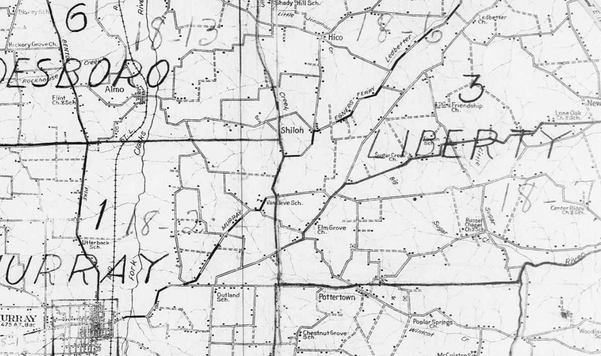
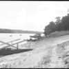
Shiloh stood on a stagecoach route, dead center between Murray and the busy Aurora Landing on the Tennessee River. Several state maps showing roads from the late 1880s have Shiloh featured.
Calloway County historically never had many official towns – communities that we incorporated and recognized by the Kentucky State Legislature. But Shiloh was one of them.
The town of Shiloh incorporated on March 6, 1876, laid out on about 52 acres in a perfect square – 1500 feet by 1500 feet. It’s not known the exact location of the town’s borders, considering Mr. W. H. Watkin’s field being the only point of reference. Along with Mr. Watkins, the trustees of the town were W. J. Beale and Isham West. The act of the state legislature required them to plot out the town, but if that ever happened, no records of it seem to exist.
Shiloh is found in the US Census 1880 records with a population of 33. In 1885, Shiloh had a general store, tobacco house, blacksmith, two doctors and two churches. During this time, Shiloh and Murray were the only two incorporated towns in Calloway County.
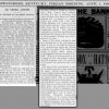
A devastating smallpox outbreak occurred here in the winter of 1882-1883. The Owensboro Messenger, January 16, 1883 edition, reported:
All the stores were closed and business of every character entirely suspended. The disease broke out there some months since, and whole families are stricken down, and the people are much demoralized, fleeing from the neighborhood, leaving homes and their friends who have the disease. Several physicians have died, and those living seem to have no power over the fatality of the disease.
When the railroad arrived in Calloway County in 1890, the tracks came nowhere near the town. The line came through four miles to the west, down a not-so-good dirt road that crossed Clarks River. The railroad bypassing Shiloh provided a blow to the town’s future.
At some point before 1900, the town officially dissolved, due to the US Census of 1900 not listing Shiloh (1890 Census records were largely destroyed by a fire). Despite the dissolution, the community continued.
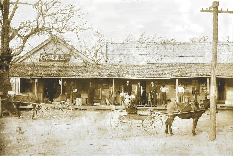
Very few photos exist of Shiloh from its heyday. However, the photo at the top of this article is of the general store provided by John Holland dated circa 1911. According to Mr. Holland, the store suffered two fires and a storm sometime before 1920 and apparently was not rebuilt.