My family and I planned a day trip to Stewart County to check out some places including a location known as “Mint Springs” in extreme southwestern Land Between The Lakes. My late grandfather took me there once when I was a kid. Back then I went swimming in Lost Creek while he gathered up some water from the spring. He called this place “Mint Springs” but I really don’t know if that is the actual name of the place or just the name he gave it. There is a location near this area called Mint Springs Hollow but it isn’t near the spring.
With the recent passing of my grandfather, my family’s day trip was centered around his legacy. We were attempting to trace his roots back into the Civil War days by visiting a cemetery near Dover and also Fort Donelson. Our last stop was to revisit Mint Springs because none of my family except for my wife and I had been there.
The location of Mint Springs is now more isolated and requires a 3/4 mile round-trip hike. Land Between The Lakes placed a large barricade up near the entrance of the road to keep vehicles from going through. Seeing the gate was surprising at first but after we arrived to the spring we realized why that barricade was there.
The hike was relatively easy if you don’t mind ticks. I pulled somewhere between 25-30 of them off of me throughout the hike. We walked down the old road (still marked as LBL Road #235) which was grown up with tall grass and had a few trees across it. Ice storm debris from 2009 were also dumped there but we easily maneuvered around it.
When I went around the bend in the road I saw that it was flooded. Last time my wife and I went to this place it wasn’t flooded. And when I was a kid, my grandfather and I drove all the way through that area to Lost Creek. Seeing the flooded road was a real surprise, especially since we were in a drought.
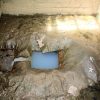
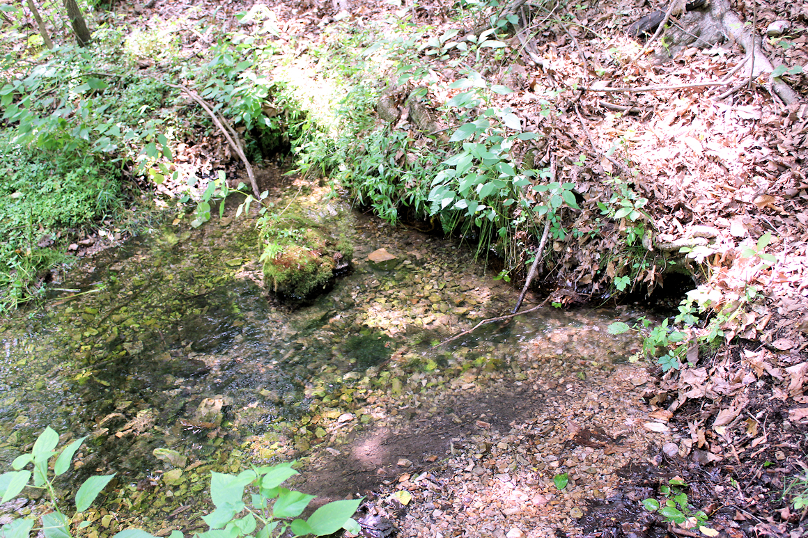
Right as the road ends into the water, to the right were the familiar wooded posts LBL had placed there a while back. I remember seeing them over 20 years ago when I was a kid. The posts were placed there presumably to keep cars from driving into the springs. Today the posts serve as a great marker for finding the springs.
The water from the springs was running out of the side of the hill impressively in four different locations. The springs formed a permanent creek that ran parallel to the road (which was now mysteriously flooded). The water was crystal clear and cold, similar to a mountain creek.
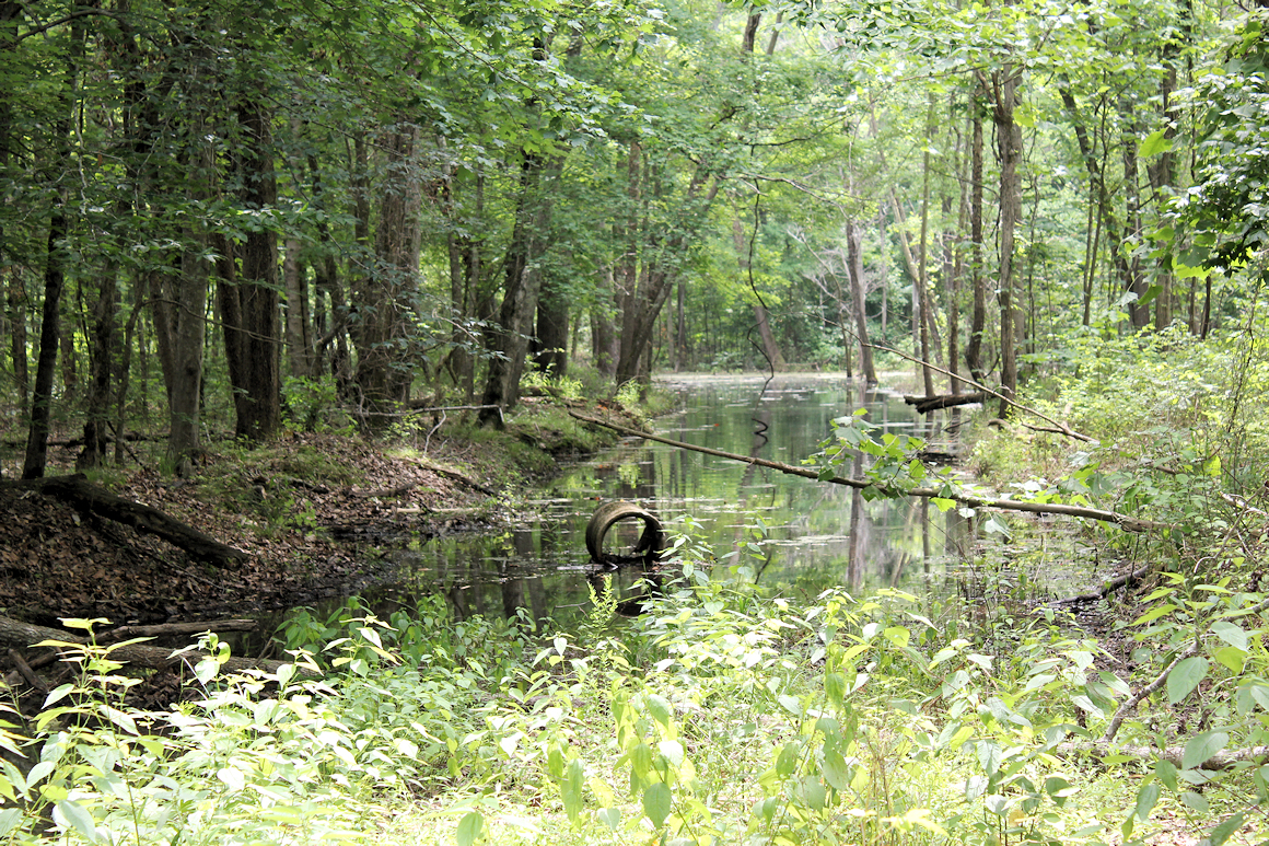
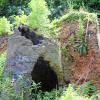
As to the mystery of the flooded road, me and a few of my family members walked to the left side of the road into the woods and went as far as we could. When I reached a certain point I realized why the road was flooded. The chewed trees around me and the large brush pile next to me showed ample evidence of beavers. After a few seconds of scanning the water, I saw the two dams they built to create their fresh water oasis. It was really something to see. No wonder LBL closed the road.
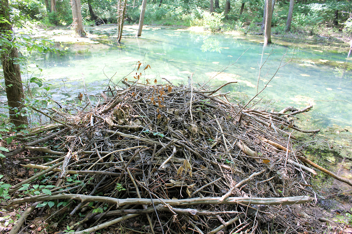
One of the beaver’s dams wasn’t really accessible. The other one was. After spending some time admiring the bluish crystal clear waters, we went back to the spring and then hiked through the woods on the other side of the flooded road. We found the beaver’s dam. It was about 4-5 feet high, about eight feet wide and was perfectly crafted. They had done a brilliant job of creating this dam, and then creating one at the end of the road to form their habitat. It was a sight to see.
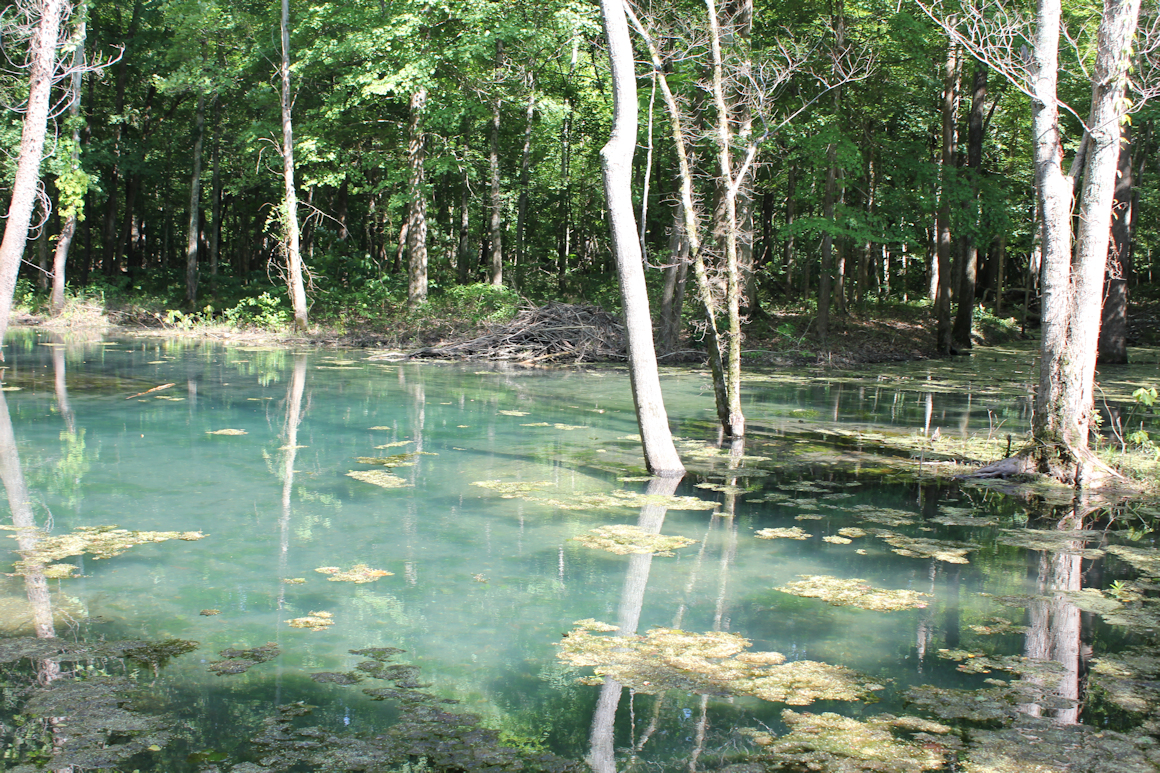
The waters of the pool were clear all the way to the bottom. On the top of the water was some vegetative gook but could have been wiped away easily. We couldn’t help but think what an amazing swimming hole this would have been but the water would have been pretty chilly. Not to mention the beavers probably wouldn’t have liked it.
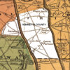
Location of Mint Springs
If you want to see this place for yourself, the GPS coordinates are 36.47224,-88.02561. From Paris Landing, take US 79 to Fort Henry Road. Turn on Fort Henry road and go 1.2 miles to a crossroad. Turn left on what appears to be an abandoned road and drive approximately 100 feet to the gate. Park there and walk straight down the abandoned road until it floods. You’re there.
One final note. Please respect the beaver’s habitat. Do not mess with their home and don’t litter, that way everyone can enjoy experiencing this unique place.