The Kentucky Transportation Cabinet has archived highway plans dating back to 1909. The majority of our modern roads in the Four Rivers Region were planned and constructed in the early 1930s.
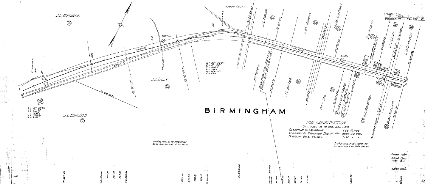
These maps show a lot of detail. In the 1933 highway plans for Kentucky 58, a road proposed between Briensburg and Birmingham in Marshall County, you can see details of land owners and shops in Birmingham. You can also see the landowners and structures for the entire length of the road from Briensburg.
This provides another look at the old town of Birmingham and what is used to be like before it was permanently flooded by Kentucky Lake.
You can download the PDF showing the plans for Kentucky 58 from Briensburg to Birmingham.